China Has Crossed Its 1960 Claims Along The LAC
Chennai, July 20, 2020
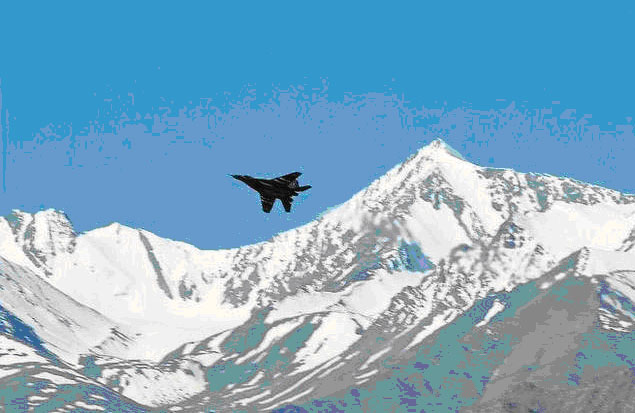
Records of 1960 boundary talks show PLA troops at Pangong Tso and Galwan Valley went beyond Beijing’s own territorial claims. Calm shattered: An Indian fighter jet flies over a mountain range near Leh
Chinese troops are currently present on theorth bank of Pangong Lake in Ladakh in an area that is beyond what even China described as its official boundary during talks with India in 1960, official records show.
China’s tent that it set up on the bend of the Galwan river, which sparked the violent face-off culminating in the death of 20 Indian soldiers and an unknown number of Chinese personnel on June 15, was also beyond China’s territorial claims, according to the 1960 records.
The Hindu Exclusive | Xi Jinping’s mobilisation order, months of planning preceded border moves
The records contradict China’s current claims of where the Line of Actual Control (LAC) runs. They also raise questions on recent statements from top Indian officials that China is not present anywhere on Indian territory.
In 1960, India certainly viewed China’s presence in areas where the People’s Liberation Army (PLA) transgressed in May as being beyond Beijing’s own territorial claims. “The Chinese are now likely interpreting their perception of the LAC in a manner that seeks to redefine or maximise old claims along new lines, as cartography and terrain knowledge have improved, which offer them tactical advantage and more ‘domination’ in key areas along the LAC,” former Foreign Secretary and Ambassador to China Nirupama Rao said. “The effect has been destabilising and provocative.”
At the north bank of Pangong Tso, the PLA moved up to Finger 4 and prevented India from crossing Finger 4. The Fingers refer to mountain spurs on the bank, and run from 1 to 8, west to east.
China now claims up to Finger 4, while India says the LAC is at Finger 8. China previously built a road to Finger 4 in 1999 and has dominated up to Finger 4, but since May has, for the first time, completely cut off India’s access to its LAC at Finger 8, effectively shifting the line 8 km west.
Satellite images show Chinese activity at Galwan before clash
Following the four rounds of Corps Commander-level talks, the PLA has moved back from Finger 4 to 5, while Indian troops also moved back further west to Finger 2, the base post in the area where the troops initiated their patrols, The Hindu reported earlier.
China’s Shifting Lines: China’s current moves to enforce its Line of Actual Control (LAC) claims, which sparked the recent border incidents, mark a shift from what Beijing told India in 1960 about where its boundaries were, both in the Galwan Valley and Pangong Lake.
Courtesy: Opera News/The Hindu

